
Needed to Prove Exactly Where a Photo Was Snapped? This Camera App Stamps It On the Spot
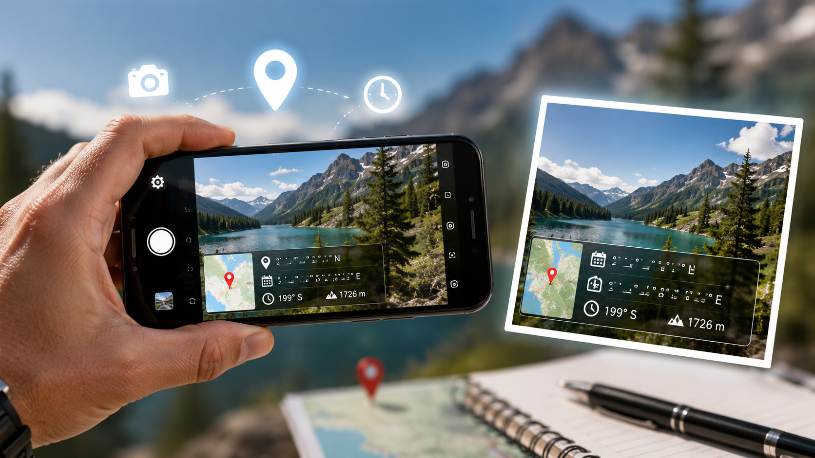
Tagofy - GPS Timestamp Camera automatically prints GPS coordinates, address, date, and time onto every photo it takes, so field reports, travel logs, and inspection records never need a follow-up explanation.
Key Takeaways
- A burned-in stamp survives sharing in ways ordinary photo metadata can't, since most apps strip metadata but leave the pixels of an image untouched.
- GPS lock needs a few seconds to settle - shooting immediately after opening the app, particularly indoors, risks a slightly stale coordinate.
- Since the stamp is visible to anyone who views the photo, it makes sense to switch it off for personal photos and save it for work, travel, or inspection use.
- Customizable templates put you in control of what actually shows - coordinates alone, or address, altitude, and compass direction on top.
Get this app
About this app
A property inspector fires off forty photos with zero context attached, and whoever receives them has to guess which unit each one shows. Or a friend asks 'hold on, where even is this?' about a trip photo you posted six months back, and you draw a total blank. Both situations get fixed the same way: print the location and time straight onto the photo the instant you take it.
What a GPS Timestamp Camera Actually Brings to the Table
Tagofy - GPS Timestamp Camera behaves like an ordinary phone camera, except every shot comes back with latitude, longitude, address, date, and time layered right onto the image. That's essentially the whole idea, and it holds up better than it sounds - once the location is baked into the photo itself, it stays attached no matter how many times the file gets forwarded, uploaded, or screenshotted. Nobody needs the original app running or the metadata intact for that proof to still be legible.
Where People Actually End Up Using This
- Field and inspection work - real estate agents, surveyors, and contractors can document a site with a location-stamped photo that doubles as a timestamped record, cutting out the need for separate notes.
- Travel logs - every shot slots into a location-tagged timeline, so a year down the line you can actually say where a picture was taken instead of shrugging.
- QR code scanning - scan and attach information directly into a geotagged photo, handy for anything that needs both a visual and a data reference bundled together.
- Map and compass overlays - on top of raw coordinates, photos can carry altitude and compass direction for more detailed geotag records.
- Custom stamp templates - the layout isn't fixed; the GPS and timestamp overlay can be adjusted to show only what you actually need visible.
A Burned-In Stamp vs. Ordinary Photo Metadata
Most phone cameras already log GPS coordinates inside a photo's EXIF metadata, tucked away unless you go looking in a file-info screen. The trouble is that metadata doesn't travel well - running a photo through most messaging apps, social platforms, or even email strips it out to protect the sender's privacy, so that location data vanishes the moment the file leaves your phone. A visible stamp sidesteps that entirely: it's baked into the actual image, so it survives every re-share, screenshot, and round of compression a normal photo goes through. That's really the whole reason this kind of app exists rather than everyone just trusting metadata that's already sitting there.
Getting a Clean, Accurate Stamp
- Let the app sit outdoors or near a window for a few seconds before shooting - GPS lock takes longer indoors, and rushing the shot risks stamping a slightly stale location.
- Double-check which stamp template is active before a batch of important photos; a busy template with every field switched on can make a clean site photo look cluttered.
- When accuracy actually matters - a legal or insurance record, say - snap a second confirming photo a minute later and compare the coordinates, since a single GPS reading can occasionally drift.
- Switch off location stamping when there's no reason to record it - nobody needs a geotag on a photo of a birthday cake at home.
A Few Honest Notes
The user base here is on the smaller side compared to a mainstream camera app - under a thousand ratings at last check - so approach it as a specialist tool rather than a mass-market one. That's not a knock; it's exactly what it's built to be. It runs ads, offers in-app purchases, and asks for location permission upfront, which you can't really avoid if you want accurate results, so watch for battery drain from constant GPS polling on a long shooting day. Still, for anyone who's needed a photo that can stand on its own as proof of when and where it was taken, this beats logging coordinates by hand every single time - point, shoot, and the location's already stamped in.
One more thing worth remembering: a visible stamp cuts both ways. It's convincing precisely because it's hard to casually fake, but that also means every photo carries your location in a form anyone viewing it can read. That's exactly the point for a site inspection headed to a client - and exactly the reason to turn stamping off for anything more personal.
How Much Weight Does a GPS Stamp Actually Carry as Proof
It's worth staying realistic about how much a stamped photo can really prove. For everyday documentation - a contractor showing a client a job site's condition on a given date, a delivery photo confirming where a package landed - a visible stamp is plenty, since nobody in that context is out to forensically dispute it. Where real legal or insurance stakes are involved, though, a stamp overlay isn't the same thing as a chain-of-custody record; someone determined enough with photo-editing software could, at least in theory, alter a stamp after the fact. When the stakes are genuinely high, pairing the stamped photo with an untouched backup and, where it applies, a witness or a second confirming shot is the safer bet.
Field Documentation Mistakes This Sidesteps
- Photos snapped hours apart with no context, later impossible to put in the right order without digging through a separate notes file.
- A shared album where captions get scrambled or lost during export, leaving pictures with no dependable link back to where they were taken.
- Trying to reconstruct a site visit from memory days later, when a stamped photo would have answered the question instantly.
Frequently Asked Questions
Does the location stamp survive being shared over WhatsApp or email?
Yes, and that's the big win over relying on ordinary photo metadata. Since the location gets burned directly into the image pixels, it comes through the compression and metadata-stripping that most messaging and email services apply automatically.
Can I edit or remove a stamp once the photo has been taken?
Generally not, once the photo has been saved with the stamp already applied, since it's part of the image itself rather than separate, removable metadata. Better to double-check your template and settings before an important shoot than to try fixing it afterward.
Will this eat my battery faster than a normal camera app?
A bit, yes - keeping GPS polling active for accurate coordinates draws more power than a camera app that isn't tracking location at all. You'll notice it over a full day of field work; less so for the occasional shot.